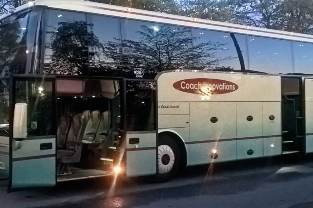
Our Coach Trips
Find Your Next Coach Trips
From quick day escapes to unforgettable European breaks, our coach trips are designed to make travel effortless and enjoyable from start to finish.
Whether you’re heading to a major sporting event, exploring iconic cities, or joining one of our seasonal experiences, every journey is planned with comfort, convenience, and great moments in mind.
Sit back, relax, and let us take you there.
Coach Trips Coming Up
See what’s coming up and find a trip that fits. From quick getaways to unforgettable experiences, we do it all.
Bruges Christmas Markets
Make your day truly special with an escape to the enchanting city of Bruges, filled with festive charm, twinkling streets, and medieval magic.
Christmas Market Weekend
Join us for a festive weekend away to Bruges and Blankenberge, combining Christmas charm, coastal views, and plenty of seasonal cheer.
Disneyland Paris Day Trip
Travel through the night with us and wake up in a destination where dreams come true, ready for an unforgettable experience.
New Year's Eve
in Paris
Make this new years eve unforgettable and join us as we see in 2027 in Paris! Be quick as this trip is expected to fill up fast.
Hear From Our Customers
Our reputation is built on the experiences we deliver.
Explore our Google reviews and see why our customers continue to choose us for reliable, comfortable and memorable travel.
Have a Question? Get in Touch
Our team are on hand and ready to answer any questions that you might have.